
We’ve rolled out a new set of updates focused on one thing: helping you make faster, more confident decisions on every site.
Here’s what’s new and why it matters.
1. AI Summary for Every Parcel
You’ll now see a Key Insights tab inside the info modal.
Instead of going through multiple tabs and layers, the AI summarizes everything it knows about the parcel in one place – zoning, risks, opportunities, and key constraints.
 Why this matters:
You no longer need to dig. You open a parcel, read the summary, and know within seconds whether it’s worth exploring further.That’s the go/no-go signal you used to spend 20 minutes piecing together.
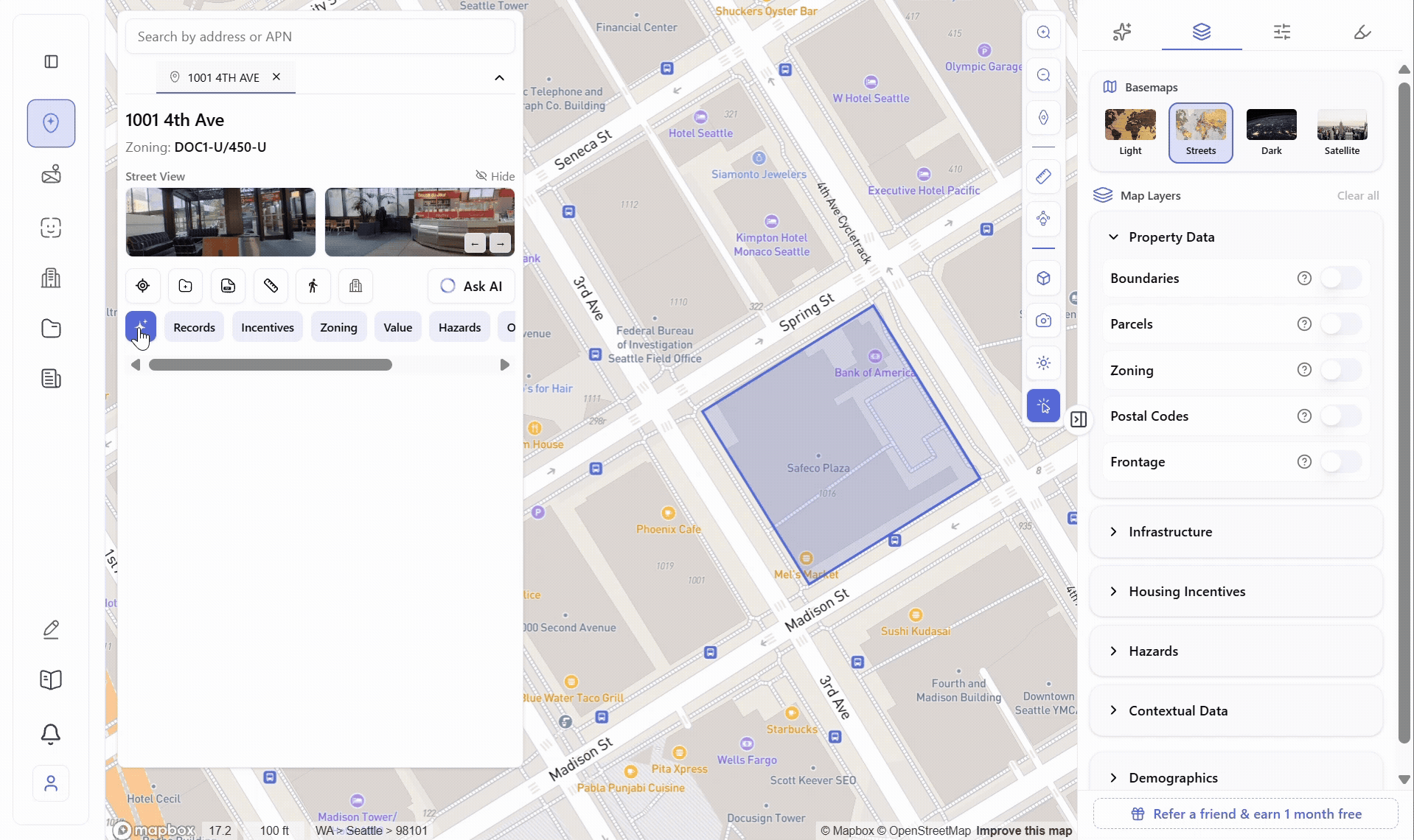
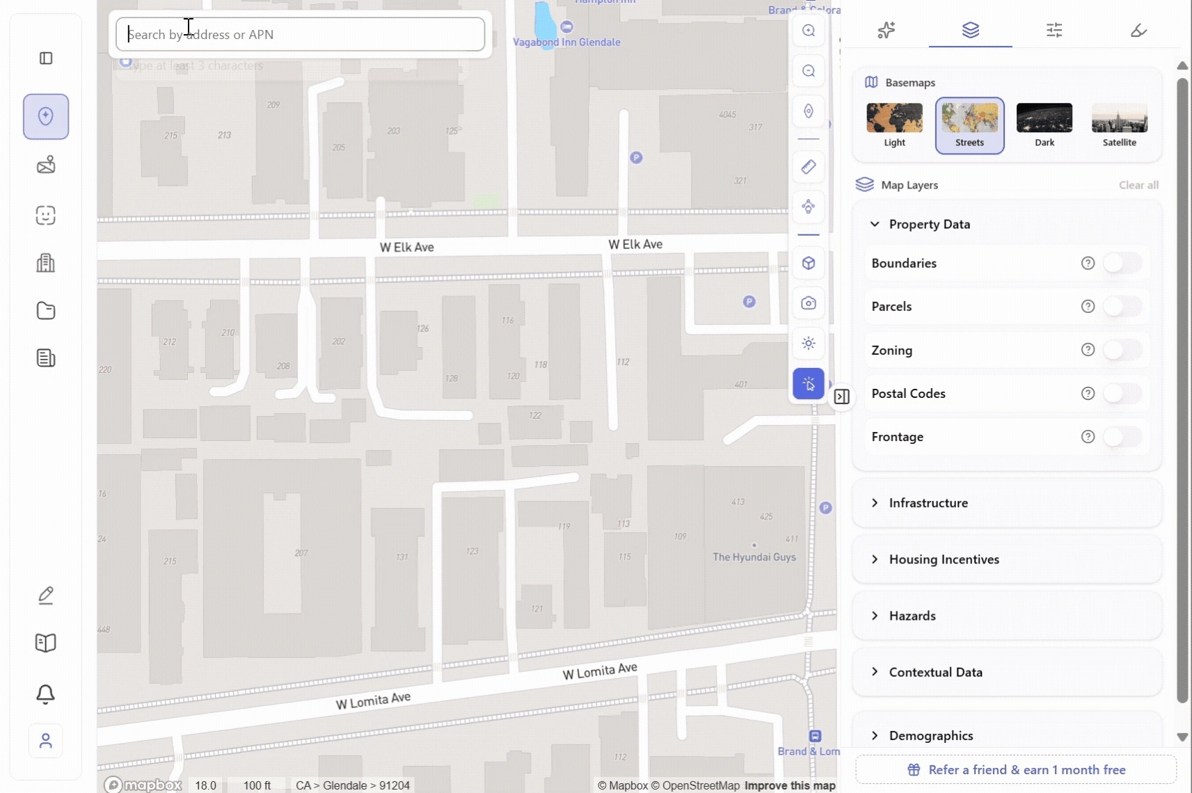
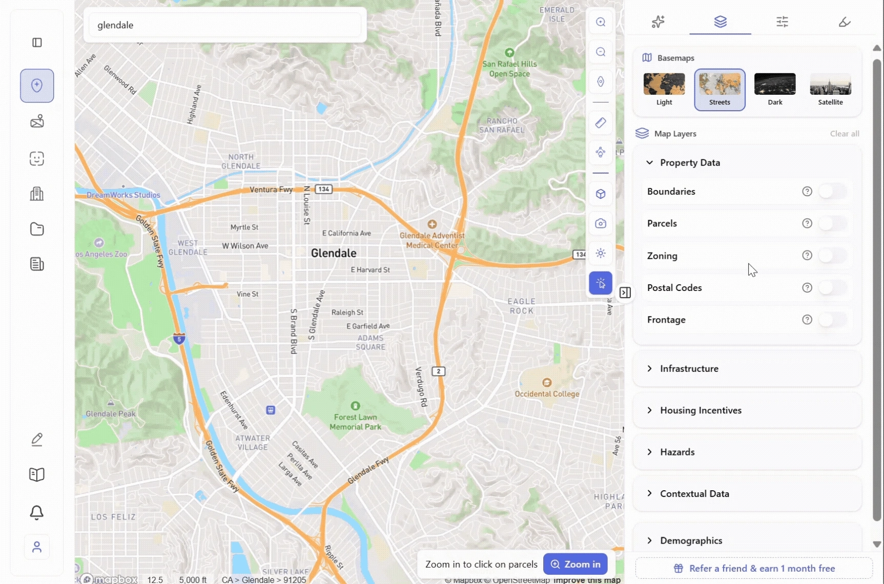
2. Expanded Zoning Data
We’ve significantly upgraded zoning data across parcels.
You’ll now see more development controls, including non-standard ones like:
- Subdivision requirements
- Public open space requirements
- Private open space
- Additional local constraints
Why this matters:
Important rules are often hidden in edge cases. Now you get a more complete picture of what you can actually build – not just the basics.
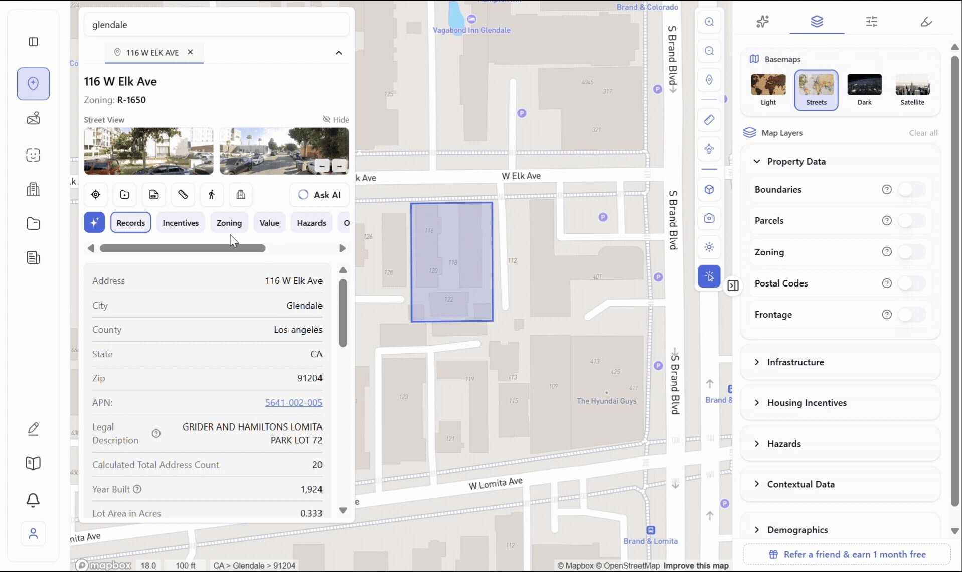
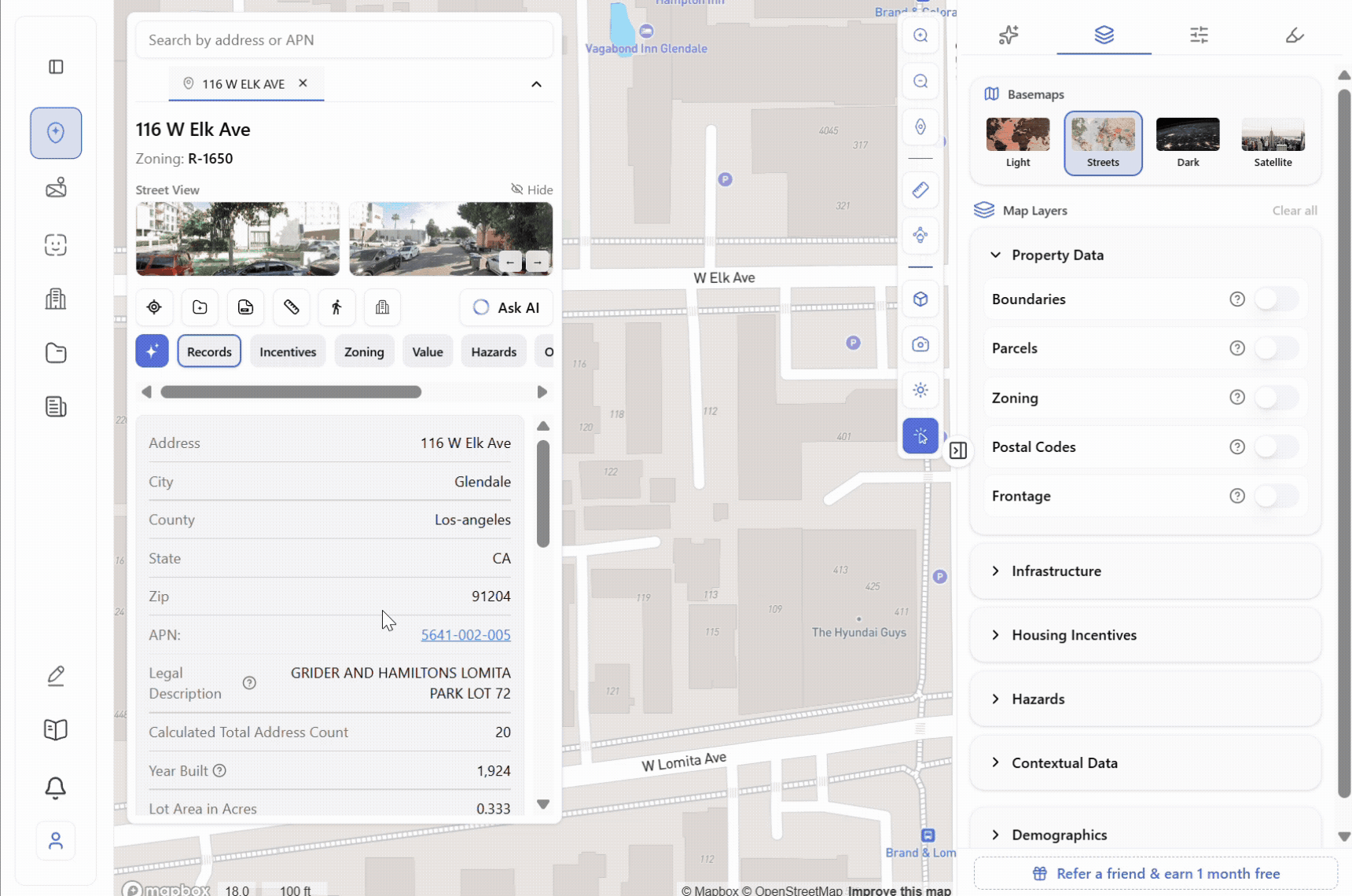
3. Improved Zoning Reports
Zoning reports are now more detailed and easier to use.
Updates include:
- Enriched parcel records + zoning records
- Clearer map layers
- APN parcel maps (available for Los Angeles County)
Why this matters:
Your reports are now closer to “decision-ready.” Less back-and-forth, fewer missing pieces, and easy enough to share directly with partners, lenders, or investors without additional formatting.
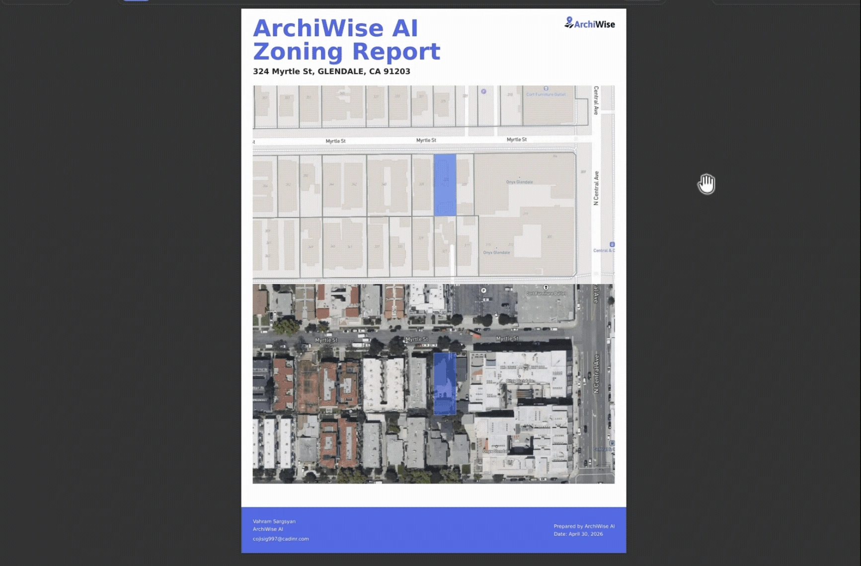
4. Custom Branding for Reports
You can now fully customize your reports with your own branding.
Add:
- Your logo
- Primary and secondary brand colors
And generate fully branded zoning reports.
Why this matters:
Frontage affects design options, access, and value, but it’s rarely visible at the screening stage. Now you can instantly identify parcels with stronger street exposure without running manual calculations site by site.
5. New Parcel Filters
New filters are now available for Washington:
- Filter by frontage length
- Identify corner lots
Why this matters:
Instead of reviewing parcels one by one, you can now narrow your entire search down to sites that meet precise development criteria before you’ve looked at a single one in detail.
7. Methane Hazard Areas Layer
We’ve added a new environmental risk layer showing:
- Landfills
- Oil & gas wells
- A ½ mile risk radius based on health research
Why this matters:
Environmental risk is one of the most commonly missed factors at the site screening stage and one of the most expensive to discover late. This layer surfaces on Day 1, before any commitment is made, so you can avoid sites that carry health concerns, community opposition, or future regulatory exposure.
What This Means for You
These updates are all about reducing blind spots and speeding up early decisions.
- Less time digging through data
- More confidence in what you’re seeing
- Faster go / no-go decisions
More updates are on the way.
What’s next
We’re shipping new updates every week. If you have ideas, data requests, or workflows you want to improve, we’d love to hear from you.
ArchiWise helps developers, investors, architects, and brokers move beyond zoning theory and into parcel-level reality.
Whether evaluating land for housing, commercial projects, or infrastructure like data centers, ArchiWise provides decision-ready intelligence before time and capital are committed.
Explore how ArchiWise helps teams analyze real sites and make smarter development decisions.